Section E northwards

Largs to Wemyss Bay


Waypoints: WP13 Largs Pier, WP14 Noddsdale Water, WP15 Blackhouse Burn, WP16 Meigle, WP17 Wemyss Bay station
Distance: X m, Y km; Time: Z hrs;
Terrain: footpath all the way
Access: tbd
Download pdf of this section - in preparation
>> next section (F northwards)

<quotation In 'The Ayrshire Legatees', Miss Rachel Pringle writes to Miss Isabella Todd:
"We then continued our journey along the 
foot of stupendous precipices; and high, sublime, and darkened with the shadow of antiquity, we saw, upon its lofty station, the ancient castle of Skelmorlie, where the Montgomeries of other days held their gorgeous banquets, and that brave knight who fell at Chevy-Chace came pricking forth on his milk-white steed, as Sir Walter Scott would have described him. — But the age of chivalry is past, and the glory of Europe departed for ever!"  ('The Ayrshire Legatees', Chapter 1)

The road along the coast is not at all suitable for walking - no pavement and much traffic - so the John Galt Way follows the Ayr Coastal Path which takes you to the landward side of Skelmorlie Castle.

Mark Parker (EUP edition, 2022) explains the references as follows: 'Chevy Chase', one of the finest ballads, printed in 1765, tells the story of a fatal hunt led by the English Percy, Earl of Northumberland, on which he encountered the Scottish Earl Douglas, who considered the “chace” an invasion. A bloody battle ensued. The "age of chivalry" mention is based on Edmund Burke’s famous passage from 'Reflections on the Revolution in France' (1790): “But the age of chivalry is gone . . . and the glory of Europe is extinguished for ever.”
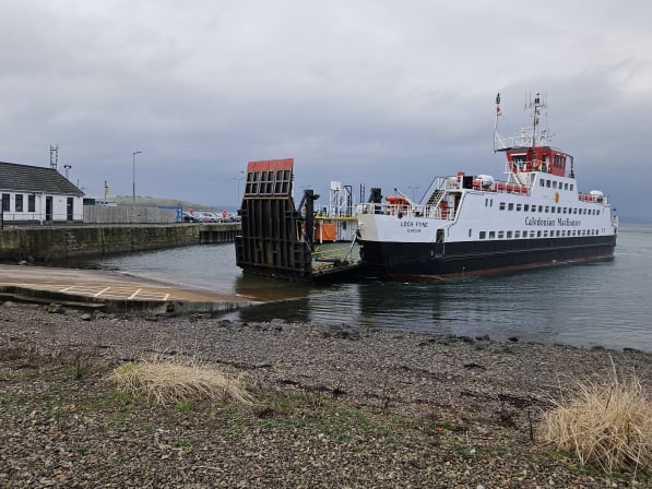
Largs Pier photo I J Dickson

Waypoint 13 Largs Pier 
What3Words ///relatives.money.shackles
If time allows, take the ferry for a 10-minute Clyde sail to Great Cumbrae (1,200 people) and its town of Millport, where local efforts have renovated the 1870 town hall. Many visitors hire a bike to cycle the 16 m. round the island. In the area around Largs pier are a range of eating places, including the well-known Nardini's (est. 1935). Vikingar!, the Viking Heritage Centre, an award winning multi-media presentation of the Vikings in Scotland, is a little further on.


Continue along the front - perhaps calling in to Vikingar! - to Aubery Park.
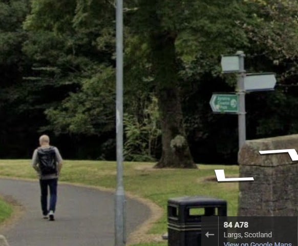
Join the main road and look out for Barr Crescent on the right, marked by green Ayrshire Coastal Path signs. 

Vikingar! has cafe and toilets as well as an excellent Viking exhibition.

Waypoint 14 photo I J Dickson

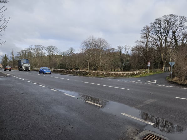
Waypoint 14 – where the Noddsdale Water path meets the main road
What3Words ///wrenching.motive.jolt


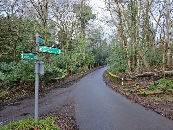
Take the next road on your right - Routenburn Road. This is the 'Red Road', the old coastal high road which Galt's Pringle family would have followed; it is named from the old red sandstone silt from surrounding fields.
You pass the entrance to Knock Castle, a 19th c. replacement of an old tower house and, later, Knock Farm.

Blackhouse Burn photo I J Dickson


Waypoint 15 - Blackhouse Burn
What3Words ///still.insulated.shock
Here a road leads down to the A78, but walkers continue northwards. The Ayrshire Coastal Path High Road option is not part of the John Galt Way.

You continue straight on.
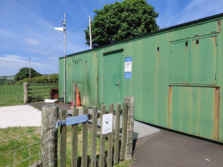
Part way along, as you approach Meigle, Skelmorlie Secret Bunker museum and underground monitoring post is located on the left with magnificent views over the Firth of Clyde. Heritage Highlight: the Secret Bunker.

Meigle photo I J Dickson

Waypoint 16 Meigle 
What3Words ///request.engaging.adhesive
Here, with no path on the landward side, you must carefully cross the A78 to reach the narrow seaward pavement to go the short distance to Skelmorlie Castle Road. At this point, there is a useful layby for meeting others.


At the main road, cross carefully to the path on the opposite side.
After a short distance, a sign points to the Ayr Coastal Path and Skelmorlie Golf Club. Cross carefully into this side road which passes Skelmorlie Castle and will give you great views of the Clyde as you walk towards Skelmorlie village. In the village, as you descend, take the No Entry side road north. This takes you down to where you cross the Kelly Burn, the boundary between North Ayrshire and Inverclyde Districts.
(The waterway is the Kelly Burn, not the River Calder named in a recent publication.)

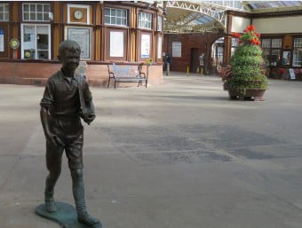
Wemyss Bay photo by Liz Smith

Waypoint 17 Wemyss Bay station
What3Words ///glue.wounds.laughs

Take time to explore the wonderful award winning Wemyss Bay Station. As well as the terminus of trains from Glasgow, the station also boasts a café, bar and second hand book shop. Ferries to Rothesay (on Bute) arrive here and there is a frequent bus service north to Glasgow or south to Largs.

quotation In 'The Ayrshire Legatees', Miss Rachel Pringle writes to her friend Miss Isabella Todd:
"When we crossed the stream that divides the counties of Ayr and Renfrew, we beheld, in all the apart and consequentiality of pride, the house of Kelly overlooking the social villas of Wemyss Bay. My brother compared it to a sugar hogshead, and them to cotton-bags, - for the lofty thane of Kelly is but a West India planter, and the inhabitants of the villas on the shore are Glasgow manufacturers.” (Chapter 1, Letter 2)

The Wemyss Bay Caravan Park now takes the place of Kelly House which was destroyed by fire in 1913. The "West India planter" who owned the property was John Wallace and it was inherited by his son Robert Wallace in 1803. Robert Wallace later became Greenock's first MP in 1832.