Waypoints: WP7 Seamill, WP8 West Kilbride, WP9 Hunterston, WP10 opposite Southannan, WP11 Fairlie Church
Distance: X m, Y km; Time: Z hrs;
Terrain: footpaths and small roads, with, in the middle, a fairly quiet country road where you should remember to walk on your right to face any oncoming traffic
Access: tbd
Download pdf document of this section - in preparation
>> next section (D northwards)
photo I J Dickson
Waypoint 7 Seamill (Hydro entrance)
What3Words ///affair.middle.musically
Seamill Hydro opened in 1871 as a hydropathic spa, but today offers a wide range of health and refreshment opportunities.
At this point, you will leave the Ayr Coastal Path - it follows the coast via Portencross Castle - you will return to it when you reach Waypoint 9.
From the Seamill Hydro entrance, cross the road and go up Glenbryde Road (a short climb - take your time!). You pass The Seamill Centre (1895), originally a convalescent home for the Scottish Co-operative Society. At the green sign, continue straight on towards Glen Road.
The path follows the stream - with the sound of a small waterfall, much bird song in spring, and the babbling brook - the path is gravel, with short wet patches after rain. At a bridge, do not cross it but continue with the brook on your right.
You pass the Hunterston Brooch Garden - read more in the info panel - "one of Scotland's rarest antiquities". Further on is a plaque recording the presentation of Kirktonhall Glen to the people of West Kilbride in 1924.
The archway to Glen Road was gifted to the people of West Kilbride by Hunterston Power Station in 1996.
Here you will find the Fable Coffee Shop and, 50 yards further on the right, community-run toilets.
Main Street is the centre of this charming Craft Town. A short distance up the road to the right, past the end of Hunterston Road, is the Barony Centre (exhibitions, gallery shop and cafe).
On arrival at the north of the Glen, you will find the delightful Fable Cafe on the right and community-run toilets at the car parking after it.
Waypoint 8 West Kilbride (Glen Road)
What3Words ///fights.singer.motoring
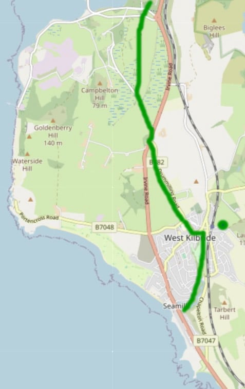
The map shows your route ahead
West Kilbride is a Craft Town, with a number of craft shops and studios; work is for sale in the Barony Craft Centre, which also offers cafe facilities.
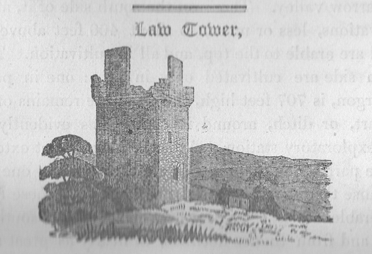
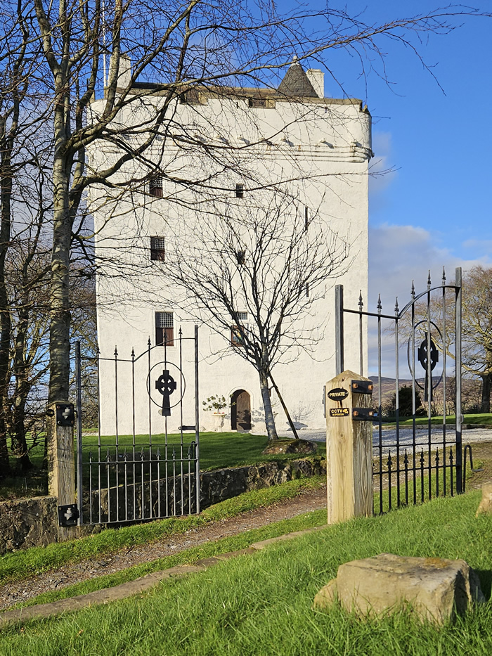
The green spot: Galt's Legatees (see the quote panel below) mention passing "under the walls of an ancient tower"; this is unlikely to refer to Crosbie Towers, the ruins of which would not be seen from the road; the tower is likely to be Law Castle - Heritage Highlight: Law Castle then & now has an 1820 sketch of the building Galt would have often passed, with a photo taken from the John Galt Way, and another photo of it today, totally renovated as a private home.
In 'The Ayrshire Legatees', Miss Rachel Pringle writes to her friend Miss Isabella Todd:
"When we had ascended a hill, leaving Kilbride on the left, we passed under the walls of an ancient tower. What delightful ideas are associated with the sight of such venerable remains of antiquity!
Leaving that lofty relic of our warlike ancestors, we descended again towards the shore. On the one side lay the Cumbrae Islands, and Bute, dear to departed royalty. Afar beyond them, in the magnificence of nature, rise the mountains of Argyleshire, - the cairns, as my brother says, of a former world." (Chapter 1, Letter 2)
'Departed royalty': John Stewart (1360–1449), a natural son of Robert II of Scotland, was granted the lands of Bute, Arran and Cumbrae by his father. He was known as the 'Black Stewart' because of his dark complexion. The grant of lands was confirmed in 1400 by a charter of Robert III.
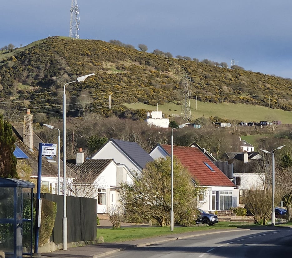
Leave West Kilbride Main Street by Hunterston Road and, on reaching the roundabout, continue on Hunterston Road straight ahead. You will need to swing left at first to circumnavigate the railing protecting West Kilbride Primary School. Once across the roundabout look back towards the hills and spot the white tower of Law Castle, mentioned in 'The Ayrshire Legatees' as an "ancient tower" - ruined in Galt's time it is now a restored and eye-catching private residence.
On your road out of West Kilbride, there is no pavement, but traffic is light and you can enjoy the country route. Remember the rule of walkers to walk against the traffic, that is, on the right-hand side of the road so that you are aware of oncoming traffic (which may include a no. 585 bus).
On meeting the main road, use the cycle route beside the ‘Forget-Me-Not’ feature to cross to the opposite pavement.
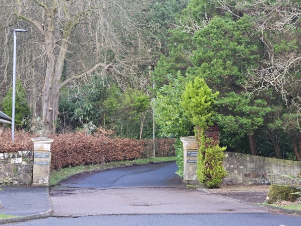
Walk a short distance north to the Hunterston Estate gate and follow the sign 'Cycle and Bridleway to Fairlie'.
The small road, partly following a stream, and partly lined with low overgrown estate walls, has hardly any, if any, traffic and is particularly pleasant on a sunny spring day, as the sheep graze beyond the ha-ha on your right - keep to the cycle path and heed the request 'sheep grazing - keep dogs on lead'. The main road is far off and you may see a West Kilbride to Largs train on the hillside beyond.
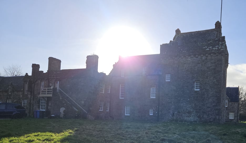
The path passes Hunterston Castle - read about it. Hunterston House is across the fields beyond - as you make your way to John Galt Waypoint 9.
None along this stretch, so visit cafe or toilets (Glen Road) before proceeding.
photo I J Dickson
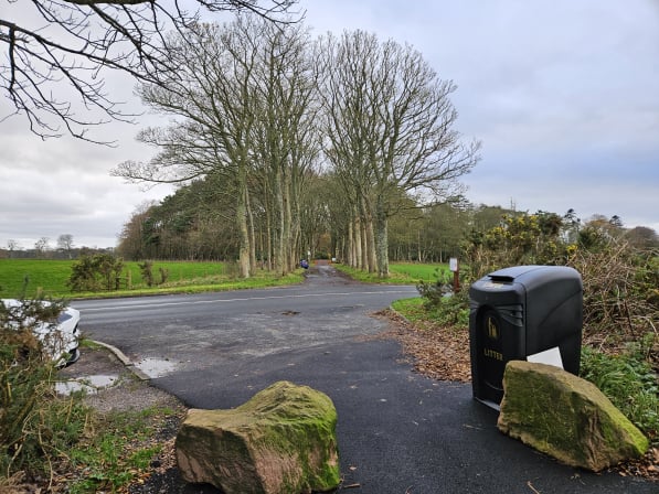
Waypoint 9: Hunterston ('Largs Ave')
What3Words ///spreading.moved.reveal
Largs Avenue is named from it being the route from Hunterston Castle towards Largs. It provides a convenient rendezvous point safe from traffic on the main A78.
Follow the path northwards - it will shortly meet and run alongside the main road.
None on this very short stretch!
photo I J Dickson
Waypoint 10: opposite Southannan
What3Words ///translate.specifies.footpath
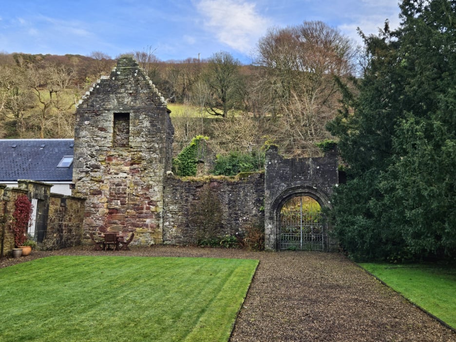
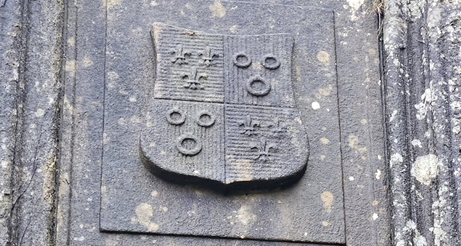
At Southannan is "the ruin of an old Abbey - what was once an extensive structure, having had a high enclosing wall, with a courtyard and an arched entrance porch to the west, defended with shot-holes" (Historic Environment Scotland). The road is a private road, but those with time and interest can walk in past today's houses to see the old gateway - see pictures here - and, as they stand at it, picture the Pringle family reflecting on the "sweet sequestered retreat". The abbey ruins would then be visible from the road. If the weather has been wet, you can take a short walk (<2m.; described by 'Gillian') to a waterfall on Southannan Burn.
In "The Ayrshire Legatees', Miss Rachel Pringle writes to her friend Miss Isabella Todd:
"On the other side of the road we saw the cloistered ruins of the religious house of Southenan [sic], a nunnery in those days of romantic adventure when to live was to enjoy a poetical element. In such a sweet, sequestered retreat, how much more pleasing to the soul would it have been for you and I, like two captive birds in one cage, to have sung away our hours in innocence than for me to be thus torn from you by fate, - and all on account of that mercenary legacy, perchance the spoils of some unfortunate Hindoo Rajah!" (Chapter 1, Letter 2)
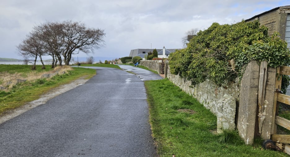
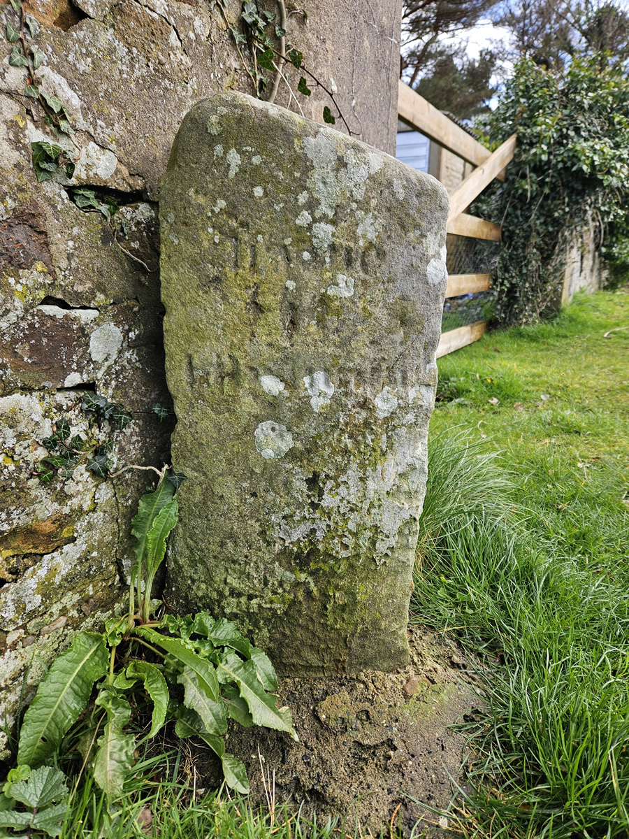
Continue along the path, which will swing left into a picnic area - an attractive meeting-up point for car transport and a suitable base for dog walking. Shortly before the picnic area, look out for an old milestone against the right-hand wall - see the info panel about the milestone.
Continue along the shore path. You will reach Bay Street. At its north end, you can continue a short distance along the shore to another picnic area on the site of the old railway pier (built 1882) before retracing your steps to the Parish Church, or simply turn up here to the Parish Church to the main road.
None until you are in Fairlie, where you can rest at .........
photo I J Dickson
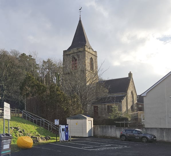
Waypoint 11: Fairlie Church
What3Words ///upstairs.resorting.input
Built as a chapel of ease of 1834, it gained its present strong traditional form in 1883 with the addition of the chancel, transepts and tower by J J Stevenson. The weather vane is a model of the 1920s Fife racing yacht ‘Latifa’ (the yachts were designed and built in Fairlie). The 9th/10th-century Fairlie Stone is displayed within the church. The excellent stained glass was made by Morris & Co and Heaton, Butler & Bayne.
Fairlie was described in 1842 by Lord Cockburn as "the best village of the wealthy in Scotland. Excellent houses, capital gardens, umbrageous trees, the glorious Clyde, backed by Arran." (quoted in James A Begg, "Ayrshire Coastal Path, p.134)